
Walk an Altamonte Springs Street
Build a street directory one parcel at a time. The Seminole County Property Appraiser is the first stop because its address search ties a site to a parcel ID, current owner, mailing address, tax district, legal description, sales history, and map. Keep the parcel ID as the join key. Street spelling can change between systems, but the land number and legal description give the search a firmer base.
Then compare the owner roll with the recorded deed, public voter data, city permit or code records, and a period directory when the question reaches back in time. These records have different dates. Record each source and access date rather than blending them into one unsupported household claim.
- Enter the street address in the Seminole County Property Appraiser search.
- Open the parcel map and click the next lots in street order.
- Save each parcel number, situs address, owner, mailing address, and legal description.
- Use the deed reference or owner name in the Clerk’s Official Records inquiry.
- Request voter, permit, code, or directory evidence only for the addresses and dates that matter.
That flow turns an address into a checked by-street record set. It does not promise the names of every person behind each door.
Search Altamonte Springs Streets
The Property Appraiser search supports owner name, situs address, parcel ID, subdivision or legal geography, and a map. Use a bare street name if a fully formatted address produces no match. Once one parcel opens, the map can expose the lots beside it. The parcel card can add value, exemptions, sale references, use, year built, building area, and sketches when those fields are populated.
| Field or mode | Input | Use in a street directory |
|---|---|---|
| Owner Name | Surname or entity | Find current parcels tied to that indexed owner. |
| Address | Street and number | Open the current situs parcel. |
| Parcel ID | Full parcel number | Join the card, GIS, and buffer tools. |
| Subdivision | Name or legal terms | Group lots when street labels do not align. |
| Map | Pan, zoom, parcel click | Move along adjacent lots in visual order. |
The Property Appraiser gateway leads into these owner, address, parcel, and map tools.

This public roll is the strongest current owner source, though it is not a full list of occupants or units within a multifamily parcel.
Altamonte Springs By-Address Records
Several public record sets can be arranged by street or tied back to an address. The property roll and GIS supply the base. Official Records establish recorded title events. Voter information can add public registration evidence through the proper request channel. Municipal permits, inspections, liens, agendas, and code cases can date work or name an applicant, owner, contractor, or respondent.
| Address-keyed source | Keeper | What it can show | Access channels |
|---|---|---|---|
| Parcel roll | Seminole Property Appraiser | Owner, situs, mail address, parcel, sale facts | Web search, map, office help, certified record |
| Official Records | Seminole Clerk | Deeds, mortgages, liens, plats, legal description | Free index, images by rule, clerk copies |
| Voter file | Supervisor and Division of Elections | Public registration and address fields | Individual check or public extract request |
| Permits and code files | Altamonte Springs | Work site, work, parties, status, inspections | City portals, web form, email, phone, counter |
| Older directories | Libraries and archives | Named entries by surname or street for a given year | Digitized scan, database, reference request, shelf |
The parcel number links the map to the roll. An instrument number or book and page links the roll to a deed. A legal description can bridge a change in street wording. A date range and address help city staff find an existing permit or case file.
Note: Record dates differ, so label each street-directory entry with its source and date instead of treating all facts as current.
Map Altamonte Springs Parcel Lines
The county parcel map allows the street directory to move beyond one search result. Pan to the block, click a parcel, and compare its boundary with the lots on each side. The outline can show that several street numbers share one parcel or that a large apartment site has a single entity owner. It can also reveal a rear lot, common area, road parcel, or commercial tract that breaks a simple house-number sequence.
Altamonte Springs also publishes a city GIS gallery and a GIS contact. Use city mapping for municipal services and jurisdiction, then rely on the county parcel record for assessment identity. Browser scripting may be required for interactive layers. If the viewer fails, search the parcel roll by address or parcel number and ask the Property Appraiser for help.
The Altamonte Springs GIS gallery shows the city’s public mapping route.
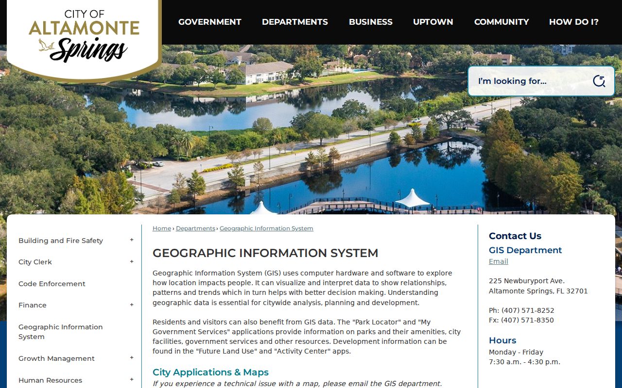
City GIS helps decide whether a postal Altamonte Springs address is truly under the city department whose file is being requested.
Read Altamonte Springs Parcel Terms
Street records use land and address terms that answer separate questions. Keep them distinct before comparing names across portals.
- Parcel
- A mapped unit of land with a county identification number.
- Situs address
- The physical tax location, not necessarily the owner’s mailing destination.
- Plat
- A recorded map that divides land into subdivisions, blocks, lots, roads, or tracts.
- Legal description
- The lot, block, subdivision, or metes-and-bounds text that identifies land in a recorded instrument.
- Criss-cross directory
- A printed or database directory arranged by street and house number for a specific publication year.
A modern address is convenient, but the parcel ID and legal description are better continuity keys. Deeds often index land by legal terms rather than the wording used by a postal search.
Follow Altamonte Springs Street Deeds
The Seminole Clerk Official Records search accepts a party name, document type, record-date range, instrument number, book and page, and legal description. For one property, begin with the sale reference on the parcel card. Open that deed and check the grantee, grantor, recording date, and legal description. Search the grantor’s earlier acquisition as grantee to continue the title chain.
Typical results show instrument number, book and page when assigned, document type, recording date and time, indexed party roles, legal-description summary, page count, and image status. A grantor gives title; a grantee receives it. Neither term says where that person lived. Mortgage, release, lien, judgment, probate, and death-related instruments can explain gaps, but they should be read in their own legal role.
A clerk historical presentation used January 19, 1962 as the online Official Records starting point at that time and described older additions. The current clerk says all Official Records should now be online. Treat 1962 as a benchmark, not a firm present cutoff. Email officialrecords@seminoleclerk.org or visit the Records Center when a cited older book is missing.
Altamonte Springs Mailing Versus Situs
A matching owner mailing address and situs address may support an owner-occupancy inference, especially when a homestead exemption appears. A different mailing address can point to an estate, manager, entity, absentee owner, or another place used for correspondence. It cannot identify a renter or prove that the owner lives elsewhere. The street directory should state only what the roll reports.
Tax bills add a payment and taxing-authority record, not a new resident list. The Seminole County Tax Collector explains current and delinquent property taxes and the authorities behind a bill. Use it to confirm the tax account or payment context after the Property Appraiser has identified the parcel.
The Seminole property-tax information page explains the collector’s role.
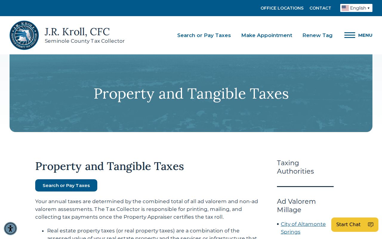
The tax page helps explain a bill, while ownership and site facts still come from the Property Appraiser roll.
Altamonte Springs Permit Addresses
City permits and code records can add dated facts to a by-address search. Permit files may name the applicant or contractor, work address, scope, value, dates, status, and inspections. The city handles work such as new construction, additions, demolition, reroofing, pools, docks, fences, signs, and mechanical, electrical, or plumbing projects. An applicant or contractor is not necessarily an occupant.
Search both the recent Agenda Center and the older Archive Center by street, case number, surname, or date. Code Enforcement Board minutes can contain a case number, respondent, subject property, cited rule, inspector, hearing evidence, compliance status, order date, fine, and prosecution cost. If the online index does not find the street, send a focused records request to the City Clerk. Building & Fire Safety is at 225 Newburyport Avenue, with phone service at 407-571-8446, Monday through Friday, 7:30 a.m. to 4:30 p.m.
Civic Access replaced or enhanced the older Citizen Self Service route. Existing users need their original email to reconnect records. Exact anonymous search fields were not verified, so use the clerk request channels when a public search is not exposed.
Altamonte Springs Voters By Street
The individual voter-status portal is designed to check one registration with identifying details. It is not a street browser. Street-level research requires a public-record request or the Florida statewide voter extract. Public fields can include a voter’s name, residence and mailing address, precinct, party, registration date, status, and voter-history codes. The extract follows a published monthly production schedule.
Florida protects Social Security numbers, driver-license or state-ID numbers, application source, and copies of signatures. A voter-history code shows participation, never the choice made on a ballot. Address Confidentiality Program participants and eligible high-risk professionals can have address protections. Preregistered sixteen- and seventeen-year-olds also receive broad registration-data protection under the 2024 change to section 97.0585.
Use the public extract only when the street-wide question calls for it. For one person checking their own status, start at the Seminole County Supervisor of Elections.
Postal Altamonte Springs Boundaries
USPS recognizes 32701 and 32714 for Altamonte Springs addresses, but ZIP areas are built for mail delivery. They do not equal city limits. Official parcel examples in both ZIPs show county tax districts outside the incorporated city. Before asking Altamonte Springs for a permit or code file, verify the standardized address with USPS, then read the parcel’s municipality or taxing-district field and consult city GIS.
The USPS tool can search by street address with city and state, or by city and state. It standardizes the deliverable address and ZIP. Include the unit when one exists. The result proves postal routing, not incorporation.
The USPS ZIP Code Lookup provides the address and city/state modes used in that first check.
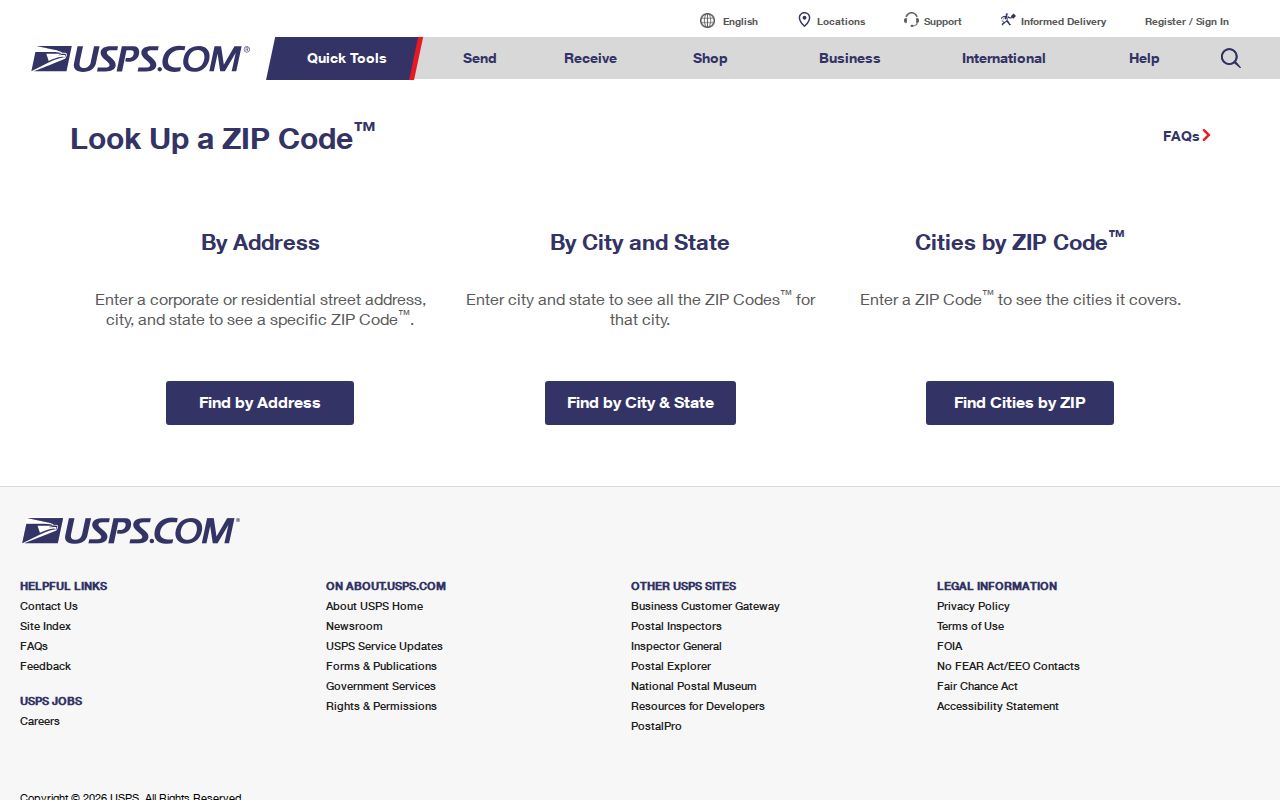
The next step is the parcel tax district, which determines whether the city or county is the likely local custodian.
Older Altamonte Springs Streets
The 1917–18 R. L. Polk Sanford directory contains both a street directory at page 23 and alphabetical names beginning at page 43. That makes it useful in two directions: a surname can lead toward an address, or a street can reveal indexed entries in house-number order. The volume’s classified business section begins at page 123. Use it as period evidence, not as a complete census.
No authoritative source established exact physical Altamonte Springs criss-cross holdings or a citywide street-renumbering year. Call the Altamonte City Library and the Jean Rhein Central Branch before relying on a shelf visit. Ask for Orlando Suburban, Orlando North Area, telephone, Polk, and criss-cross directories because regional titles can hide Altamonte coverage. The fuller collection detail belongs on the Altamonte Springs city directory.
When a modern street search fails in an old source, switch to the legal description, subdivision, census geography, map, or deed citation. Do not invent a rename or assume that today’s house number remained fixed.
Limits of Altamonte Springs Streets
A public street directory cannot list every current household. The Property Appraiser names owners, and one apartment parcel can stand for many units. Voter data excludes people who are not registered and withholds protected fields. Permits identify parties to work, not everyone at the site. Directories miss people because of publication lag, canvassing gaps, name changes, and thin rural or multifamily coverage.
Florida’s Address Confidentiality Program gives qualifying survivors a substitute mailing address and mail forwarding. Some high-risk professionals can request record-specific exemptions. Motor-vehicle personal information is restricted under federal law. Juvenile, sealed, adoption, and protected victim material remains closed under its own rules. Public availability never cancels those limits.
Lawful use. Use Altamonte Springs address records for family history, property research, civic review, or personal safety. Never stalk, threaten, harass, or harm anyone.
Check the record at its official source and preserve its date. A street-by-street result should identify what is known, what is inferred, and what the public sources cannot show.